Thursday, 13 June 2019

New Drones @ Department of Geography

Took delivery of two drones this morning.

One is a Parrott Bluegrass - a rugged, out of the box rotary drone with a forward facing oblique RGB camera and a nadir looking Parrott Sequioa. A very nice piece of kit, eliminates many of the issues I spoke about before with bespoke integration mounts for sensors on the DJI series.

The other is a  fixed wing - covers a much wider area and has RGB capability via a canon camera.

Looking forward to testing these two out - need to renew my SOP and license and then up, up and away.....

Monday, 20 May 2019

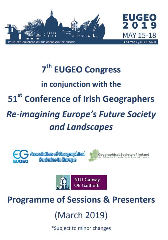
EUGEO - CIG2019

A big congrats to the team at NUIG for hosting such a great event - some really interesting talks over the 4 days and some nice weather for a trip to Galway. The EO session went well, Daithí and I had some really interesting speakers in a dual session - everything from satellite SAR to Drone photogrammetry.

That's it for 2019 - commiserations to Cian and team at Trinity who are hosting it next year.


Wednesday, 15 May 2019

Smart Farming

Liadh Kelly and Peter Mooney from Dept of CS are organising a smart farming event in mid June (12th) - two talks in particular might be of interest to Geo's/RSers - I'm giving some demos on Copernicus and satellite applications, Aidan from NCG is giving a demo of drones and what they can do. Looks like it will be an interesting day and a good line up of speakers. Aimed at techie and non-tecchie/policy makers alike - so spread the word.


My role is also tied in with SCSI - who released the annual Land Review with Teagasc last week, outreach like this and training is one of the goals of the Earth Observation and RS working group.


Thursday, 9 May 2019

Stronger Standards, Stronger Profession

Survey Ireland was a success again - lots of the usual faces and ran smoothly and to plan in Dunboyne (with the usual ice cream treat).

Very wide range of speakers - starting with Lorraine McNerney and the UN GGIM Sustainable Development Goals and followed closely by James Kavanagh and the RICS standards work. I was particularly interested in a doc he mentioned on promoting security of tenure in developing countries. As well as that we had a talk on mental wellbeing - an important topic for such a busy profession and even had a talk on projections finishing up as a slide on snakes and ladders. The Discovery Programme did the usual visual feast for the yes on their range of projects over the years - Skellig Michael in particular.


The age-old riddle remains unanswered - how to get students to attend these events. There were free tickets this year and I still only saw one student!

Well done to Niamh for arranging the excellent lineup and to Edel, Patrick and team for keeping things running so smoothly.


Thursday, 25 April 2019

Survey Ireland 2019

Conference season is rapidly approaching - starting with Survey Ireland 2019 on the 8th May in Dunboyne Castle. Despite promising myself that I would not present again on space tech this year (it's been four years in a row, this will be the 5th....), I was 'volunteered' at one of the committee meetings. Serves me right for missing it I suppose. The talk will be on Remote sensing Data, what is available and it’s suitability for different applications.


Anyway - looking forward to the event and to seeing some familiar faces. 

Current schedule here.


Thursday, 11 April 2019

EUGEO and CIG2019

We had such a good response this year that we have had to organise a dual EO session for the joint CIG/EUGEO this year in Galway. Sessions 2.3.7 and 2.4.7 - should be a great selection of talks. Thanks to all who applied and to co-convenor Daithí for all the hard work in compiling the submissions.

Conference programme available at this link


Tuesday, 2 April 2019

BIM From a Distance

Part 1 of our article on 'BIM from a Distance' has just been published in the Surveyors Journal. This was a SCSI/ESA funded study using high resolution passive and active satellites to monitor construction in Dublin port. Part 1 introduces the problem, proposed methodology etc - Part 2 will cover the results.


This was a very interesting study to be part of - basically proving to me that high resolution satellites can measure the dimensions of structures achieving relative accuracies of +/- 0.5m. This means that the process is not entirely dissimilar from traditional methods band even more importantly is repeatable and exportable for any site worldwide. We presented these results in CIG2018 in Maynooth and again in Survey Ireland 2018 in Dunboyne.

About Me

My photo
My name is Conor. I am a Lecturer at the Department of Geography at Maynooth University. These few lines will (hopefully) chart my progress through academia and the world of research.