Registration is now closed for the IEOS and Copernicus InfoSession - although if there is anyone still interested we still have some spots free so come along on the day and register at the desk. We experienced high demand for the tickets - promises to be one of the best attended events yet!
Tuesday, 31 October 2017
Tuesday, 24 October 2017
Counting the COST of Ophelia
Hurricane Ophelia hit Ireland last week. Although no longer a hurricane in name (it can't be one over cold waters) it was of hurricane force and did severe damage to many parts of the country resulting in loss fo life, complete closure of most public services and transport, fallen trees, coastal and inland flooding and power outages. Listening to Newstalk on the drive in this morning the insurance costs are expected to be in the billions.
 |
| Baltimore Beacon - Photograph: Youen Jacob/Provision |
Another cost of Ophelia was the cancellation of one of MY flights - the 18:15 scheduled for Brussels for the kick off meeting of a new COST action HARMONIOUS - "Harmonization of UAS techniques for agricultural and natural ecosystems monitoring". This COST action really caught my eye and has cross overs with a number of NCG projects including the RPAS Precision Ag stuff, the drainage using thermal cameras and RPAS, and the coastal bathymetry mapping using RPAS. These technologies are really in their infancy and there is no standard approach to data processing, either in the early stages of preprocessing or later on in data analysis. This is of interest to me from the OSi change detection project, where classification of high resolution imagery plays a major role. The SCSI RPAS WG can also benefit from the info on standardising results, plus the SCSI Rural Division I suspect.
Thursday, 19 October 2017
Tuesday, 10 October 2017
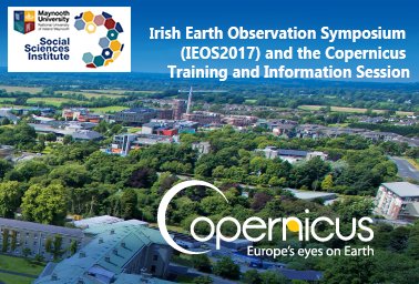
IEOS2017 and Copernicus Info Session - 2nd and 3rd November
Two great events coming up in the EO field, the annual Irish Earth Observation Symposium and the first Irish Copernicus Info Session. Maynooth hosted the IEOS in 2014 and it was a great success with over 150 people attending over both days. This year we've extended the second day to a full day and are pushing for an even bigger attendance, we already have more than 150 registered with 3 weeks still to go. The Copernicus team are joining us on the second day to demonstrate the massive potential that their services and datasets promise for GI professionals and the wider user community. We will have exhibitors, keynote speakers from ESA, GEOS and the minister confirmed to open the event.
Abstract deadline for the IEOS is this Friday, 13th October. If you are interested in satellite, airborne, drone, terrestrial - multispectral, hyperspectral, SAR, thermal, orthoimagery - image classification, 3D models, monitoring then this event is for you.
It is free to attend so get registering!
It is free to attend so get registering!
Wednesday, 4 October 2017
Underwater Laser Scanning
Readers of this blog might remember my interest in the many excellent shipwreck 3D models downloadable from the GSI/MI/INFOMAR online dataviewers. I discovered a related article recently on very high resolution underwater laser scanning of wrecks being carried out with the help of the university of Southampton. Image of an old galley scanned as part of the project below..

Wow - look at that detail, and look at how well preserved it is despite being exposed! They say this model was created through photogrammetric methods - which is interesting in itself and one of the first underwater applications that I have come across, if you discount some of our bathymetry tests using the UAVs imagery.
Thanks to LiDARNEWS for tip off on the full story
Subscribe to:
Posts (Atom)
About Me

- Conor
- My name is Conor. I am a Lecturer at the Department of Geography at Maynooth University. These few lines will (hopefully) chart my progress through academia and the world of research.