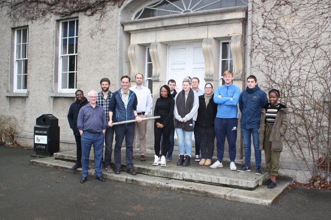
Last week brought the theory element of GY643 to a close - the first postgraduate marine remote sensing module in Ireland. This module was notable for another reason too - it was co-developed with industry. Early in 2018 we began working with Geological Survey of Ireland and the Marine Institute (the partners on INFOMAR - the national seabed mapping programme) on developing the structure, content and model of assessment etc for a 10 credit postgraduate module. Judging by early indications and the student feedback the theory and lab based practivcal element was very well received. The next stage - the boat time in February - will round off the module nicely. Lots of useful feedback and thanks to all the speakers and students for helping out this year.


No comments:
Post a Comment