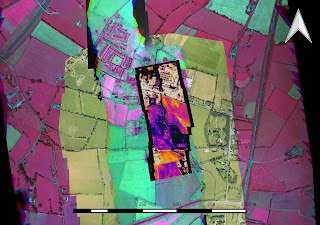
Our short paper detailing system concept, design and calibration of the aerial sensor pod is now available online. This research feeds into a number of NCG projects including bathymetry, slick feature mapping, forestry, precision agriculture and infrastructure surveys. The sensor pod captures RGB, HD Video, thermal, multispectral and hyperspectral imagery and is a very rich dataset with multiple applications.


No comments:
Post a Comment