Monday, 24 October 2016

Image Derived Bathymetry at the INFOMAR Annual Conference

I presented some of our bathymetry results at the INFOMAR conference last week, we'd been using multiple satellite (Landsat 8, Sentinel 2a, RapidEye, Pleiades), airborne (the sensor pod with hyper, multi and RGB) and RPAS RGB imagery to derive bathymetry for a few different test sites around the coast. We'd been looking at different image processing methods to remove errors in the data following on reviewer comments from the Dublin bay paper . These are things such as sunglint, etc - and interestingly the algorithm we used (Hedley et.al) was developed by the same person we then collaborated on during the marine workshop a few weeks back. His background is in coral reef mapping - and these were originally 'errors' for him until he moved into bathymetry. 

Some very interesting talks at the INFOMAR conference and a great turn out - I learned about the some of the shallow, coastal banks which might be suitable for testing SDB away from the influences of the coast. Another interesting talk was from Dan Toal in UL on autonomous drone navigation and landing for getting around LOS restrictions by operating from a mobile nautical platform. A 3D interactive website for viewing shipwrecks and a few things looked good too, including RMS Leinster, built from CAD plans and then related to the multibeam point cloud for the wreck.


And I finally got a go of one of the augmented reality sandboxes. 

Tuesday, 18 October 2016

ERC

I've been very quiet on the blog front of late - mainly due to a new arrival in the family and also an ERC submission (just gone off this afternoon). I'll have to remedy my lack of posts soon as I'll be presenting slick mapping and satellite bathymetry at a number of conferences in the coming weeks and should have some good info to report back.

Saturday, 1 October 2016

Floating LiDAR

Two LiDAR principles that I have just heard about for the first time, floating LiDAR and LiDAR for wind measurements. I had no idea LiDAR could measure wind velocity - more data that I am probably throwing out and that could be reused... Apparently it uses LiDAR doppler shift to measure wind particles and is the next great thing for offshore wind measurements providing more info when choosing a site. I wonder what wavelength LiDAR they use?


Thursday, 22 September 2016

Ploughing Championships 2016

I spent most of yesterday afternoon at the Ploughing Championships, peddling my wares at the Chartered Surveyors stand. iCrag had been there the day before, Maynooth University are there all three days and I was the Geomatics representative on the afternoon slot, showcasing some RPAS and satellite applications that could be of use to the rural community. What an event - over 200,000 people in two days and it is almost like a small city.

Here it is (image centre, very bright pixels) doing its best to outshine Tullamore (NE corner of image) on yesterdays Sentinel 1a image. It's Ireland's biggest outdoor event, i understand....


Monday, 19 September 2016

RPAS Consumer Guide

A series of guidelines have just been published by the SCSI working group on RPAS that I am a member of. Consumer guides are designed to inform consumers who might be considering commissioning a RPAS survey for their site of the pros and cons of the method, who they should rely on, what to ask for, etc. RPAS Operations is a highly dynamic regulatory environment and things are already changing since we first began drafting them that will impact significantly.


Still - a good place to start.

Friday, 16 September 2016

Land Journal Article Published

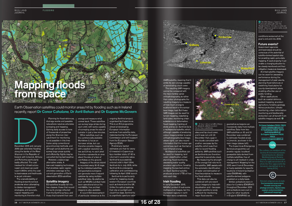
An edited version of the article we wrote for the SCSI  Surveyor's Journal has been picked up and published in the latest edition of the Land Journal, RICS.


Sunday, 11 September 2016

Image Registration

Some great data coming in from the different sensor pod surveys. Below is an example of two different images (multispectral and RGB) co-registered using the on-board GPS. We have no IMU on board yet, so this is two different images with two different image capture frequencies and trying to back interpolate off the GPS track so there are obviously going to be errors. The third image (thermal) was registered using matching features in the other images. The thermal camera can provide very low contrast at times, hence the overlap problems to the south with the field boundaries. The fourth image is a hyperspectral FCC for the same area - 100 bands, 600-1000nm.


About Me

My photo
My name is Conor. I am a Lecturer at the Department of Geography at Maynooth University. These few lines will (hopefully) chart my progress through academia and the world of research.