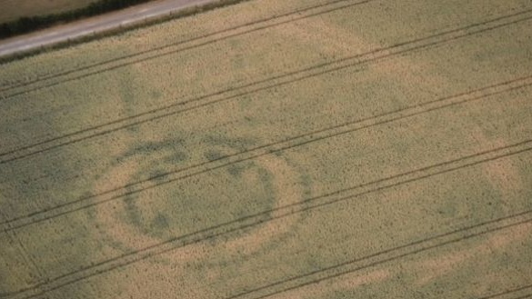
The extremely dry conditions over the past 4 months really has resulted in perfect conditions for archaeologists to spot new sites of interest, usually via airplane, drone or even satellite. From drones spotting new info at newgrange, to abandoned farmsteads at the bottom of reservoirs appearing for the first time in generations spotted by aerial survey teams, to satellite finding new sites in the UK, there really is great potential for a change detection study using some HR imagery around the countries that had the worst of the drought. I wonder what Copernicus might pick up?

No comments:
Post a Comment