Monday 27 January 2020

Marine Remote Sensing - Module Co-Developed with Industry

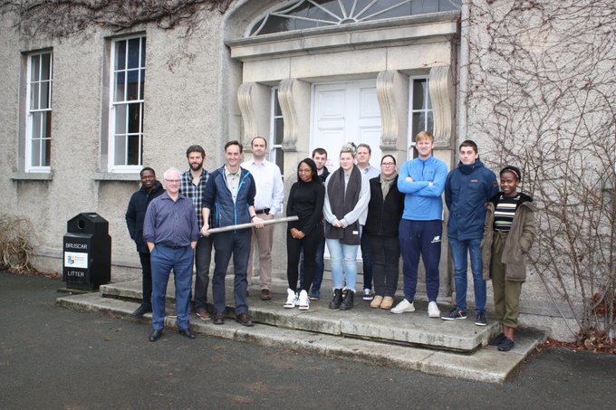
Last week brought the theory element of GY643 to a close - the first postgraduate marine remote sensing module in Ireland. This module was notable for another reason too - it was co-developed with industry. Early in 2018 we began working with Geological Survey of Ireland and the Marine Institute (the partners on INFOMAR - the national seabed mapping programme) on developing the structure, content and model of assessment etc for a 10 credit postgraduate module. Judging by early indications and the student feedback the theory and lab based practivcal element was very well received. The next stage - the boat time in February - will round off the module nicely. Lots of useful feedback and thanks to all the speakers and students for helping out this year.


Wednesday 15 January 2020

5*S is Hiring

5*S has its own Twitter page now for those interested (yes, i made the logo...)


We're also hiring. Maynooth Geography are hiring for a Postdoc/RA and also a Software Developer.

The PD/RA will develop new Copernicus related content for the Esri ArcGIS In Schools programme and provide training to interested professionals/teachers-in-training in return for enrolling as a GeoMentor. Job spec here

The Software Developer will develop new Augmented Reality teaching tools (i'm really excited about the possibilities with this one) to introduce students to Copernicus data via mobile apps and help improve their spatial skillsets by adding elements of interaction. Job spec here

Closing dates for applications is 31st Jan approx - and we're hoping for an almost immediate start.

Must have drivers license and car...


About Me

My photo
My name is Conor. I am a Lecturer at the Department of Geography at Maynooth University. These few lines will (hopefully) chart my progress through academia and the world of research.